Egypt - Red Sea · Riff
Zabargad
The dive site
Zabargad at a glance
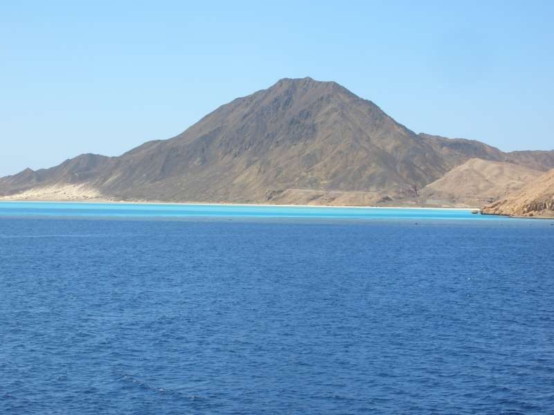
Zabargad is called “El Gubal” by Egyptian sailors, which translates to “The Mountain.”
Zabargad was formed when deep magma rose to the surface due to a tectonic shift between the African and Arabian plates. The island is 3.5 km long, and its highest peak reaches 235 m. As far back as Cleopatra’s time, the semi-precious stone olivine was mined on Zabargad.
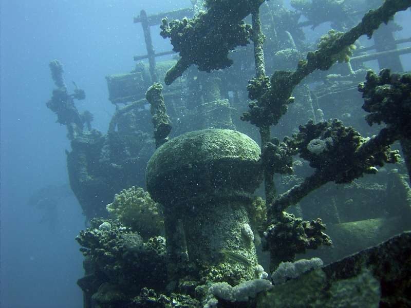
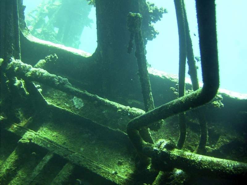
On the eastern side of the island lies a wreck that is 70 meters long and approximately 10 meters wide. The name and history of this wreck have long been a mystery. It is believed to have been a Russian motor cargo ship. It is conceivable that this ship sought refuge near the island following a collision or an explosion on board and sank there. The damage to the stern supports this theory. The marine growth on the wreck suggests it sank sometime in the 1950s or 1960s. The wreck begins at a depth of 1 meter and ends on a sandy bottom at 24 meters.
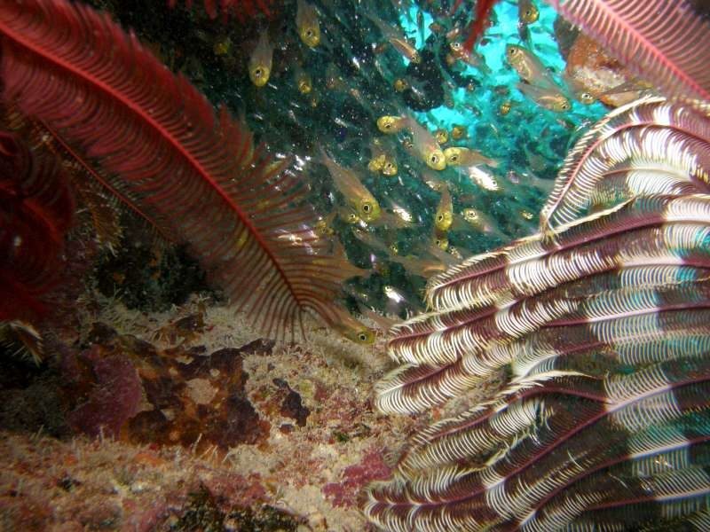
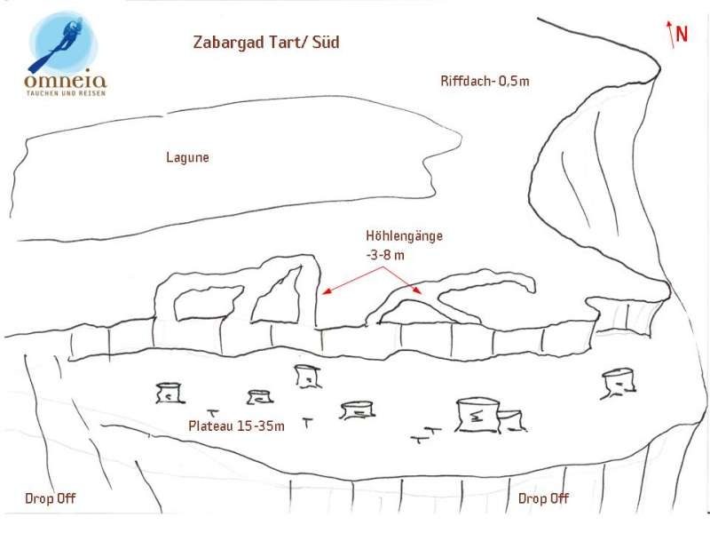
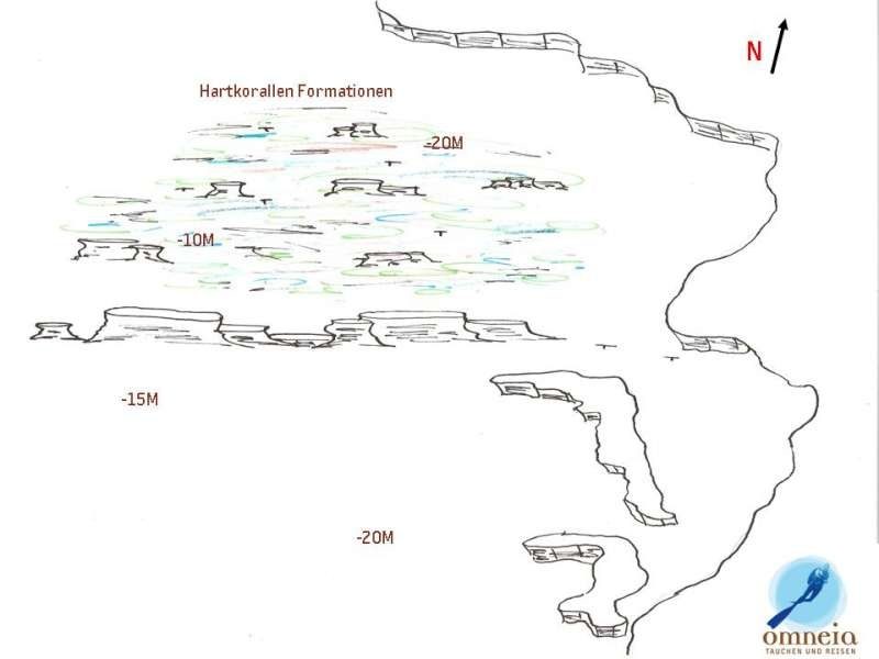
On the south side of Zabargad, the reef drops 10 to 15 meters, followed by a narrow plateau beautifully overgrown with bizarrely shaped coral blocks. This plateau transitions into an unspectacular drop-off at a depth of 25–30 meters. In the upper reef area on the southeast side, there are many cave passages where, with a little intuition, you can also find nudibranchs and tubeworms.
On the west side of Zabargad lie the remains of a small safari boat, the Neptuna, and a beautiful hard coral garden.
Images